Recently, Monte Vega, the owner of Small Town Coffee Roasters, sat down with the Rutherford Bound team to talk about why he supports the Kiwanis Park project in Rutherfordton.
Recently, Monte Vega, the owner of Small Town Coffee Roasters, sat down with the Rutherford Bound team to talk about why he supports the Kiwanis Park project in Rutherfordton.
The Rutherford County Tourism Development Authority (RCTDA), along with the Town of Lake Lure and Conserving Carolina, has continued to develop mountain biking opportunities in the Hickory Nut Gorge. Specifically, purpose-built trails for mountain biking on Weed Patch Mountain and an expanded parking lot at Buffalo Creek Park (part of the Rutherford Bound initiative) are drastically increasing access in the area.
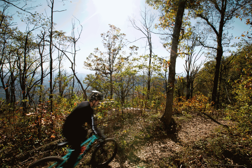
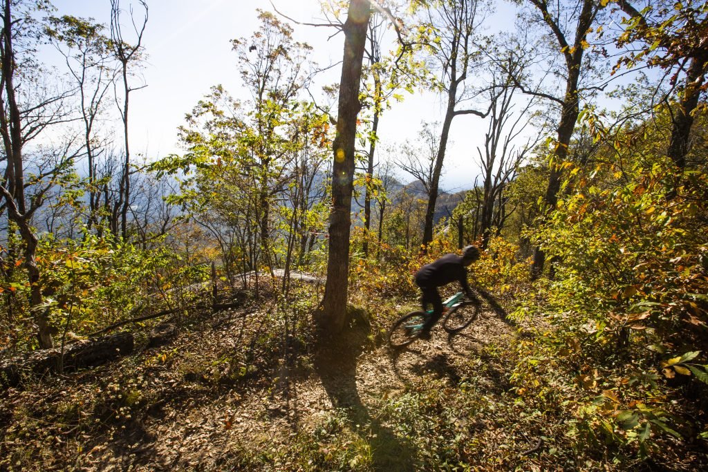
Buffalo Creek Park provides the perfect 1/2-day mountain biking adventure! The park's tight and twisty bermed turns feature a moderate elevation change, with the 3.5 mile main loop trail connecting to the larger Weed Patch Mountain Trail. Currently, the parking lot at Buffalo Creek Park is under construction -- expanding from a small, six-space lot and eventually accommodating 54 parked vehicles. This improvement is funded by the RCTDA as part of the Rutherford Bound initiative and serves visitors to both Buffalo Creek Park and the Weed Patch Mountain Trail.
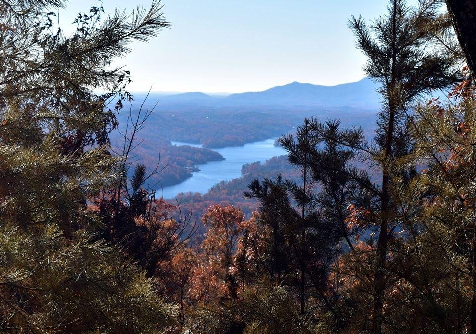
To turn a 1/2- day Buffalo Creek Park adventure into a full-day, add in Weed Patch Mountain Trail! The award-winning 8.6 mile trail is one of the most exciting backcountry adventures in WNC, traversing rugged mountain terrain through a remote wilderness area. Bikers will cut off of the Buffalo Creek Loop Trail and end at Eagle Rock (Weed Patch is the first public access trail to Eagle Rock in Chimney Rock State Park). This trail is difficult terrain and experienced mountain bikers will enjoy the steep switchbacks and long trail. For a fast downhill ride, park in the Eagle Rock parking area and ride the trail all the way down to the Buffalo Creek Loop.
Rutherford County is home to a myriad of walking, hiking, and biking options, including easy-going rides along area Greenways. The Rutherford Bound Master Plan continues to build and improve opportunities for both residents and visitors to enjoy outdoor recreation opportunities for all ages and skill levels.
For hikers and cyclists looking for a pleasant, easy trip (or for families with young children), the Purple Martin Greenway (PMG) is the perfect place to explore wildlife, creeks, waterfalls, and local plant life along the two-mile, paved trail. The PMG is kid, pet, and bike friendly and features shady trails and a picnic shelter alongside Cleghorn Creek. The Greenway connects Kiwanis Park and Crestview Park and runs parallel to Main Street in downtown Rutherfordton, NC.
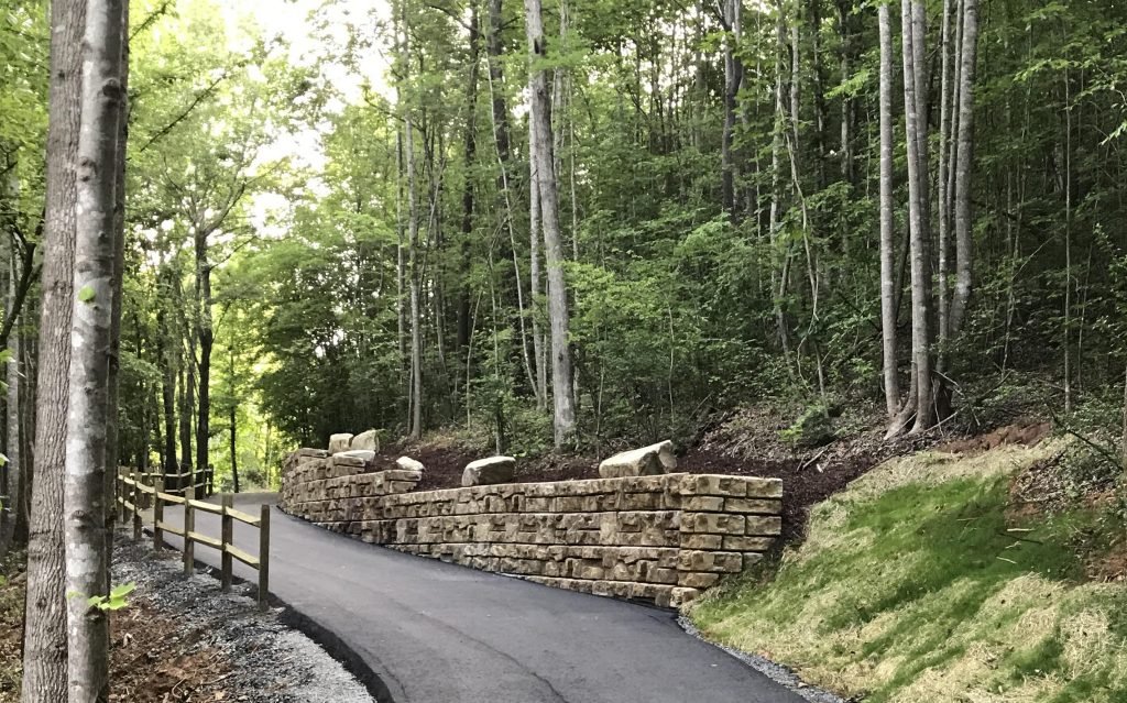
Thermal Belt Rail Trail (TBRT)
What began a decade ago as a grassroots effort to develop a Rail Trail along the out-of-service Old Southern Railway tracks has now emerged as a popular 13.5 mile paved trail spanning four municipalities, thanks to a concerted community effort from Rutherford County. Currently, as part of the Rutherford Bound initiative, the Rutherford County Tourism Development Authority is working to provide extensive enhancements along the Thermal Belt Rail Trail, including public art and gateways inviting users to visit the various communities along the trail, improved aesthetics, additional landscaping, pocket parks and more.
Visitors to the TBRT enjoy a flat path with numerous access points along the trail, allowing users to either choose a short journey or complete the entire 27-mile round trip. A natural canopy provides lots of shade along the way and seven devoted parking areas ensure a seamless transition onto the trail. Recently, the Thermal Belt Rail Trail was featured on PBS: North Carolina Weekend as an example of how Rail Trails can connect communities and engage citizens.


Thermal Belt Rail Trail (TBRT) Enhancement Master Plan
More than 13.5 miles of the Thermal Belt Rail Trail have been constructed throughout Rutherford County since the grassroots trail-building effort began over a decade ago. In 2021, the Thermal Belt Rail Trail Partners, an alliance of local leaders responsible for the management of the trail, adopted the Thermal Belt Rail Trail Enhancement Master Plan, identifying several areas slated for improvement, including: trail access & safety, signage, public art, and landscaping.
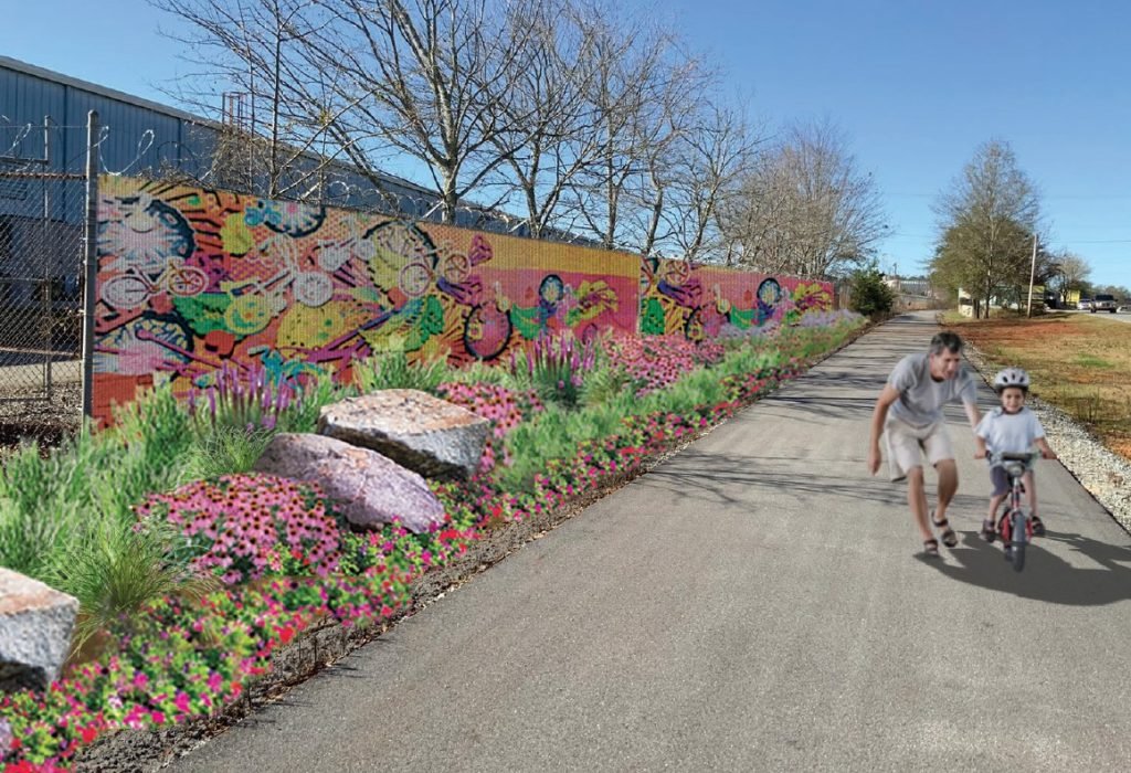
Rutherford Bound and the Watts Water facility in Spindale have teamed up to upgrade TBRT landscaping on a highly-visible section of trail near East Main and Callahan Koon Road. Additionally, students from the local school system are providing original artwork that will be included on a screen covering a lengthy stretch of security fencing.
A Collaborative Effort
Coincidentally, both the TBRT Partners and representatives from Watts Water each independently identified the need to upgrade the character of the TBRT along this specific trail segment and reached out to Rutherford Bound and the Town of Spindale. Employees from Watts Water came up with the idea of involving artwork from area students and a true community collaboration was born!


When approached, the local school system was eager to participate and provide student artwork. Ritchie Garland, Marketing and Communications Director for Rutherford County Schools, is happy to see creations included from K-12 students district-wide.
If all goes according to plan, this project should be completed by the last day of school, so the students’ hard work and creativity can be recognized in a public ceremony, along with the trail’s newest corporate sponsor and other local benefactors.


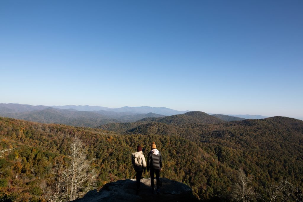
Last fall, the Rutherford County Tourism Development Authority (RCTDA) successfully led a stakeholder effort to form the Rutherford County Trails Collaborative.
Representatives from the RCTDA, Rutherford County, Chimney Rock State Park, Foothills Conservancy of NC, Conserving Carolina, the Rutherford Outdoor Coalition, Carolina Climbers Coalition, and RHI Legacy Foundation identified a simple goal for the Collaborative: to guide trail infrastructure development projects in Rutherford County.
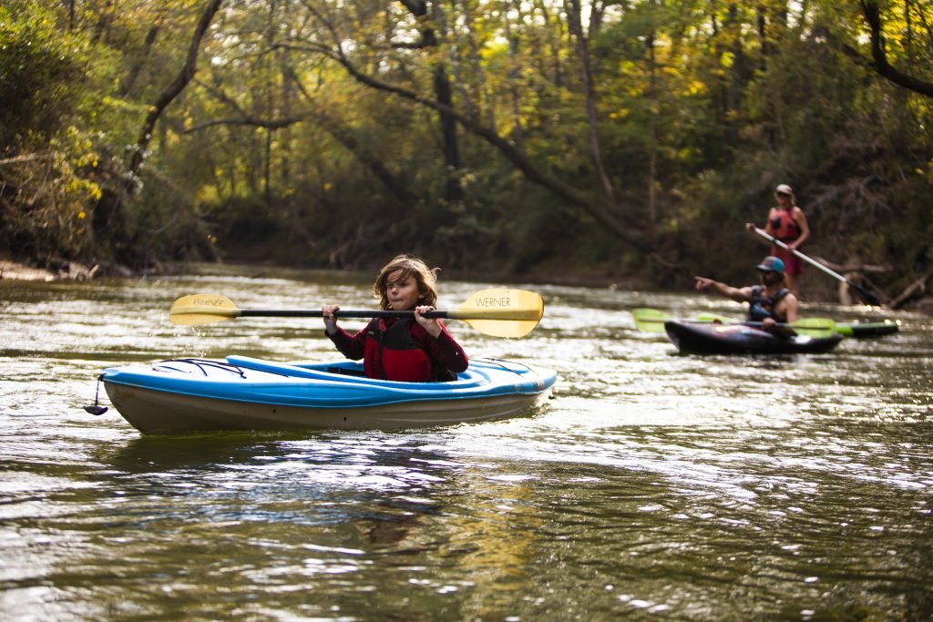
The group got off to a strong start by completing a comprehensive inventory of all trails (both future and existing) in Rutherford County. The trails were grouped into four categories: 1) state-designated; 2) regional; 3) local; and 4) paddle trails. Each of these categories has distinct funding opportunities from a variety of sources.
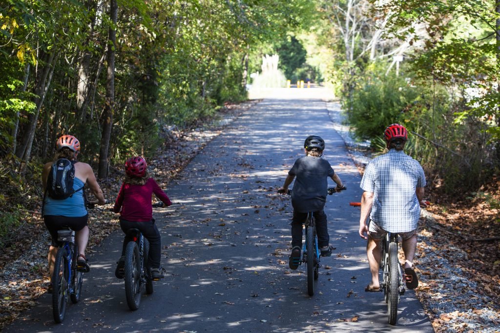
Next, the Collaborative identified needs for each trail listed in the inventory. The need categories include: 1) planning; 2) design and engineering; 3) construction; and 4) enhancement/maintenance. Based on the results from the trail inventory, categorization, and the needs assessment, the Collaborative created a master list to help prioritize future projects, as well as a comprehensive list of potential grant funding.
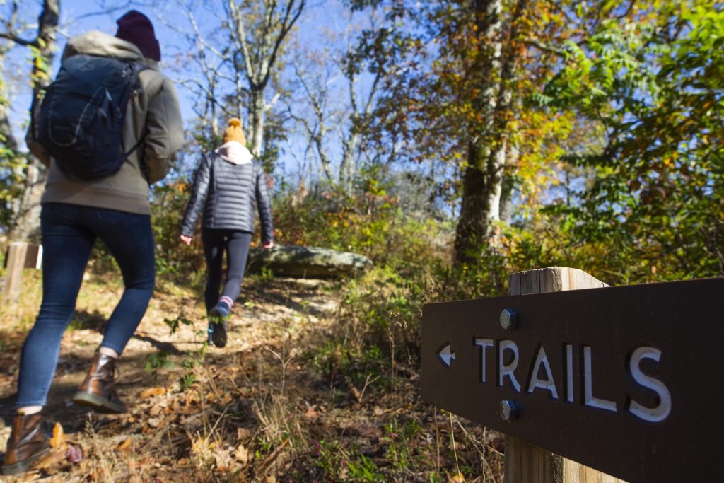
Moving forward, the Collaborative plans to meet every other month to update group members on trail projects in the County. Additionally, an Implementation Action Plan will be developed for each fiscal year to identify specific trail infrastructure projects based on prioritization, needs, and potential grant funding sources.
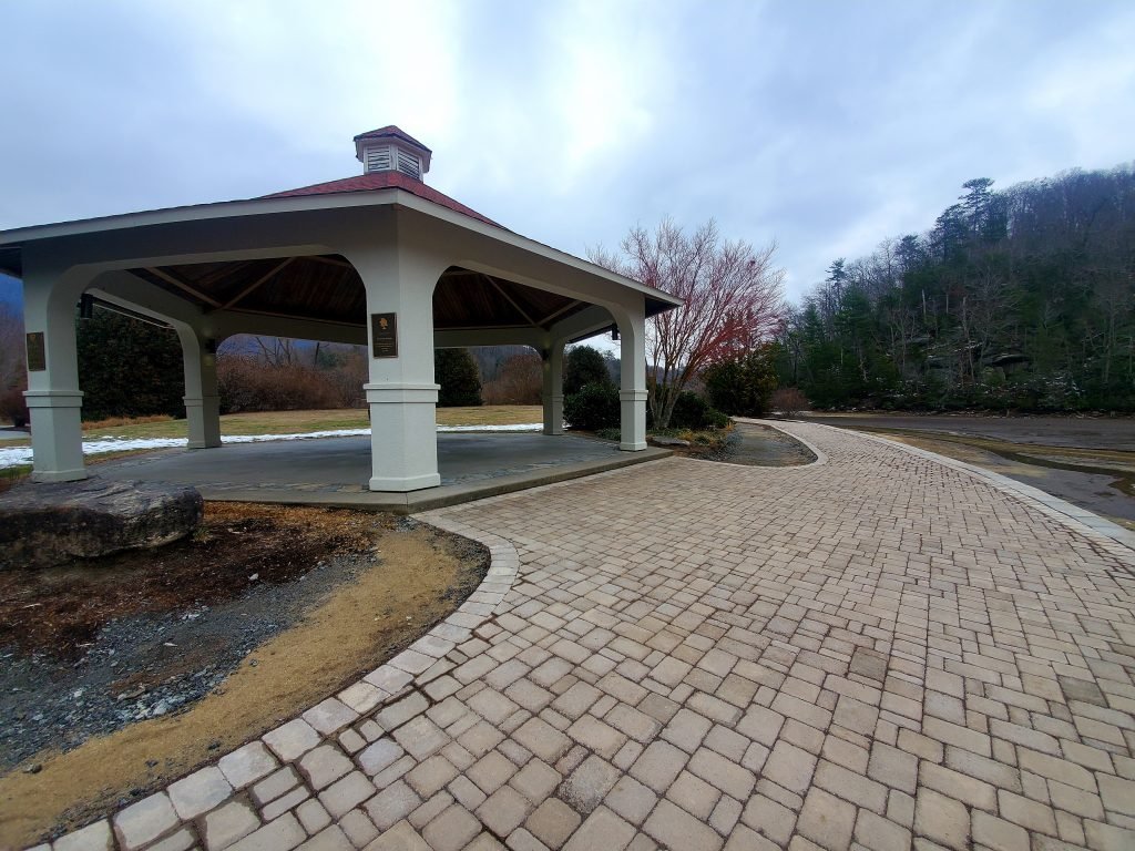
Already completed is the Morse Park Overlook Project. The new overlook is directly adjacent to the gazebo and provides park users the perfect location to take pictures, as it directly overlooks scenic Lake Lure.
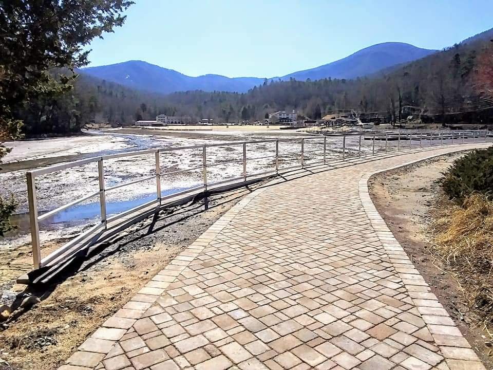
The Lake Lure Town Center Walkway offers a scenic walk through the Town of Lake Lure. The new and improved walkway connects the Flowering Bridge down to the beach (and beyond!) and pavers have been laid in place of the original brick sidewalk. The project should be completed soon, just in time for visitors and residents to enjoy the sights and sounds of Spring in Lake Lure.
Visit the Lake Lure Town Center Walkway!
Dana Bradley, the Parks, Recreation, and Trails Coordinator for the Town of lake Lure, is excited to move forward with these projects.
Finally, the Buffalo Creek Park Trailhead is growing from a small, six-space parking lot into generous space for 54 parked vehicles. This project has been funded through the Rutherford County TDA, as well as contributions from Rumbling Bald Resort, the Town of Lake Lure, and proceeds from the Carolina Climbers Coalition’s annual “Rumble” bouldering competition. Currently, hikers visiting Buffalo Creek Park are forced to park on the side of the road when the lot fills. If all goes according to plans, this project should be completed by early summer 2022.
The Rutherford County TDA is expanding opportunities on the Broad River paddle trail by creating two new public access areas that will allow for comfortable, safe, legal use of the river. The County is now beginning the planning and engineering process for these two access areas.
Access areas located at US 221 and US 221A in the southern portion of the County will provide river users with another user-friendly 4 mile paddle. For more adventurous folks, these sites will create a 14-18 mile trip from the existing Gray’s and Coxe Road accesses.
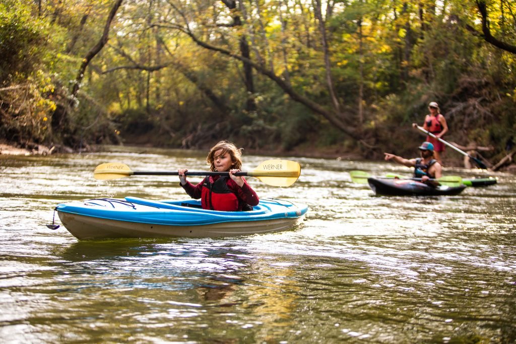
When complete, the Broad River Paddle Trail will span nearly 41 miles within Rutherford County from Lake Lure Dam/Island Creek Road to the Duke Energy Plant at Cliffside. In order to provide multiple recreational opportunities along the river, public access areas should be spaced at regular intervals to allow use of different sections of the river.
Only two developed public access points currently exist on the trail at Gray’s and Coxe Roads, a 4.8 mile section of the river. Development of additional public river accesses along the trail will provide more accessibility for paddlers, anglers, and other river users, creating a significant natural asset that flows through the heart of Rutherford County
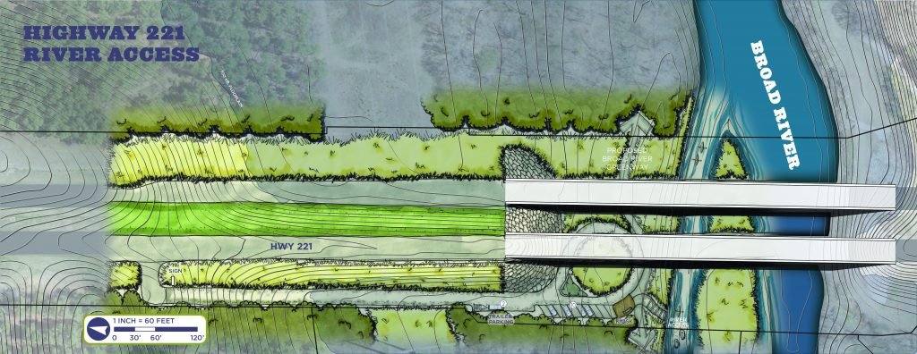
The new US-221 Access Area will be on NCDOT property north of the river, where the US-221 bridge crosses. Public access will be from US-221 South. The project scope will include an approximately 575-foot access road with a turn-around circle, ten vehicle parking spaces, two trailer parking spaces, a kiosk, an entry sign, and river entry steps.
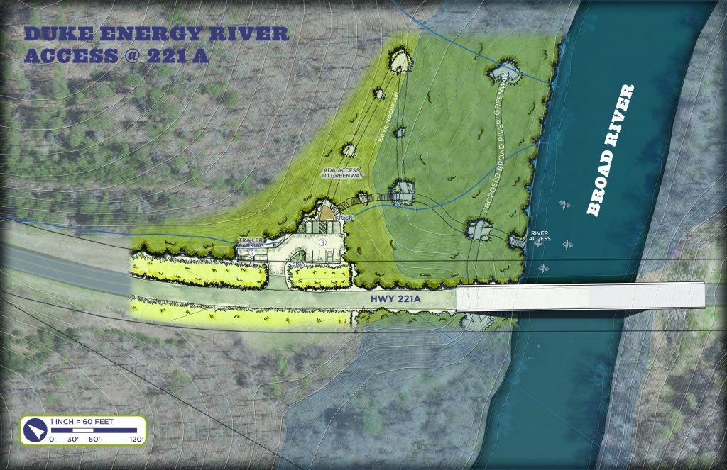
The US-221A Access Area will be located on Duke Energy property north of the river, where the US-221A bridge crosses, 4 miles downstream of the planned US-221 access. Public access will be from US-221A North. The overall project scope will include nine parking spaces, two trailer parking spaces, approximately 300 feet of river access trail, kiosk, entry sign, and river entry steps.

With funding support from the Duke Energy Foundation, RHI Legacy Foundation, NC Department of Environmental Quality, and the federal Recreational Trails Program, and general support from Duke Energy, NC Wildlife Resources Commission, NC Department of Transportation, and Rutherford Outdoor Coalition
The Broad River Paddle Trail project will provide visitors with additional outdoor recreation opportunities in combination with the other natural assets in the County. It will also provide health and wellness, environmental awareness, economic impact, and quality of life benefits for residents.